About us
Welcome to Low Level Views operating in the County of Herefordshire in the United Kingdom. Registered with the Civil Aviation Authority, I have held a Permission for Commercial Operations for 2 years and now hold an A2 Certificate of Competence. Please look through my portfolio of photos on this website so you can see the type of work I have completed to date. Working with you and your team collaboratively we will define clearly and concisely what you want to achieve, and by when. All jobs are risk assessed in advance and on the day of the flights in line with the PfCO rules set by the CAA and are both weather and flight area dependent. If on the flight day I as the Remote Pilot determine that is it not safe to fly, then we will have to reschedule. Frustrating I know; however, I always fly safely and within the CAA regulations. So please feel free to look around the website and then let’s talk to see what we can do together…
We offer a high quality service at competitive cost to you. We can supply raw still and video footage through to high quality prints of many sizes.
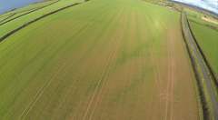
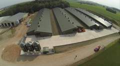
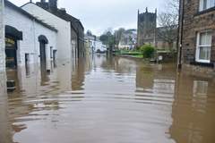
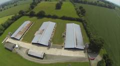
Examples of Completed Work for Clients